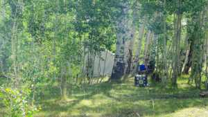
Box Springs is a short but rewarding run through the pine and fir timber east of Heber City, climbing a narrow shelf road before dropping into a shady drainage where a handful of established camping spots wait at the end of the line. It is a quick trail to run, but it packs a rocky, undulating stretch in the middle that keeps the drive interesting, and the payoff at the bottom is worth the short drive in.
Trail Summary
- Location: Wasatch Mountains, Wasatch County, Utah, east of Heber City
- Distance: 1.0 mile
- Difficulty: Level 3
- Minimum Elevation: 9,356 feet
- Maximum Elevation: 9,444 feet
- Elevation Gain: 69 feet
- Travel Time: 20 to 30 minutes
Difficulty
Best suited for a high clearance 4x4
A stock vehicle with good ground clearance, 4WD capability, and off-road tires handles this trail without trouble. The surface is uneven and rutted in spots, with loose rock and a few sandy stretches. Careful tire placement helps through the rockier section, and the road can feel steep and loose in short bursts. It stays about one vehicle wide for most of its length, with a few spots to pull aside and let oncoming traffic pass.
Elevation
The trail starts near 9,400 feet and works its way down through a series of gentle rolls, losing more elevation than it gains overall. Total elevation gain comes in around 69 feet, with about 136 feet of loss along the way, for a net drop of roughly 67 feet from the trailhead to the camping area at the far end. Elevation ranges from a low of 9,356 feet to a high of 9,444 feet.
Terrain
Expect mountain shelf road and rocky two-track for the entire run. The route winds through dense pine and fir forest, narrowing to a single lane through the more technical middle section where loose rock and small ruts require some attention to line choice. The road widens back out as it nears the camping area at the bottom.
4WD Experience
This is a mellow trail overall, but the middle third earns its Level 3 rating. A short, rocky, undulating stretch tests tire placement and traction, particularly where the road narrows and the surface turns loose and rutted. Outside of that section, the drive is straightforward two-track with occasional dips and minor ledges. Low range is not necessary, but it helps keep things smooth through the rockier ground.
Travel Time
Plan on 20 to 30 minutes to run the full trail. It is short at just under a mile, but the technical middle section and the temptation to slow down and check out the camping spots at the end make it worth taking your time.
Highlights
The main draw here is the camping area at the end of the trail. Several sites are spread out along the bottom of the drainage, some shaded under trees and some open, with enough room to comfortably fit a group of rigs. The forested drive in, with its mix of shade and open two-track, makes for a scenic short run even before reaching the campsites.
Map
Interesting Waypoints
Waypoint 1
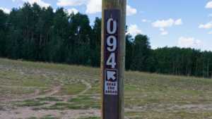
Waypoint 2 (40.407099, -111.243616)
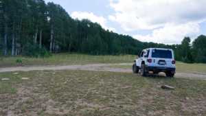
Waypoint 3 (40.407092, -111.243588)
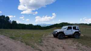
Waypoint 4 (40.407089, -111.243576)
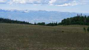
Waypoint 5 (40.407075, -111.243524)
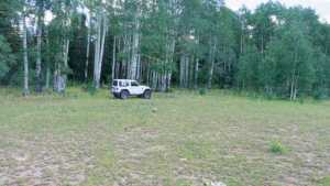
Waypoint 6 (40.407049, -111.243298)
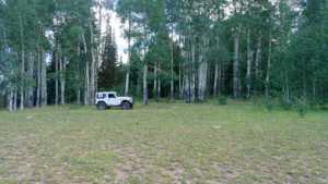
Waypoint 7 (40.399787, -111.244480)
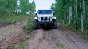
Waypoint 8 (40.395419, -111.248949)
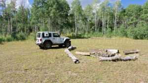
Waypoint 9 (40.395440, -111.249115)
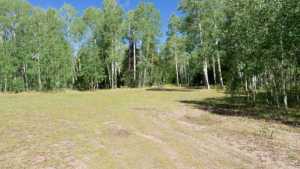
Waypoint 10 (40.395443, -111.249124)
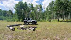
Waypoint 11 (40.395470, -111.249214)
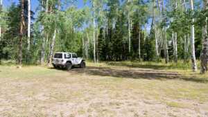
Waypoint 12 (40.395788, -111.249372)