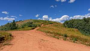
Clyde Creek Road climbs out of the Strawberry Reservoir drainage on the west side of Wasatch County, running from a graded gravel entrance into a narrower, rougher two-track as it works west toward Strawberry Ridge. It is a straightforward drive for most of its length, with a handful of open camping pull-offs early on and a gradual climb through pine and aspen as the road progresses.
Trail Summary
- Location: Uinta-Wasatch-Cache National Forest, near Strawberry Reservoir, Wasatch County, Utah. Closest city: Heber City, UT. Closest major road intersection: US-40 and Strawberry Ridge Road (West Side Strawberry Road).
- Distance: 5.6 miles
- Difficulty: Level 2
- Minimum Elevation: 7,635 ft
- Maximum Elevation: 9,203 ft
- Elevation Gain: 1,556 ft
- Travel Time: About 30 minutes
Difficulty
Typically suitable for high clearance 2WD
Stock equipment is sufficient, but the terrain will test tire traction and ground clearance in a few spots. Expect dirt and rocky road surface with occasional dips, ruts, and small rocks under 9 inches. The road can get steep in sections but traction stays good. Later in the drive it becomes unmaintained after rain or snow, with the potential for shallow water crossings and obstacles under 12 inches, including small ledges. The road runs one to two vehicles wide for most of the route.
Elevation
The trail starts around 7,635 feet at its eastern end and climbs steadily to about 9,203 feet by the time it reaches the west side near Strawberry Ridge. The gain works out to roughly 1,556 feet over the 5.6 mile run, with almost no significant descent along the way. The climb is gradual rather than steep, so it never feels like a grind, just a steady uphill push the whole drive.
Terrain
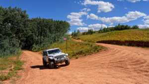
Clyde Creek starts as a wide, graded gravel road, easy enough for most vehicles. A mile or two in, the surface begins to roughen up, not necessarily harder to drive, just rockier and less maintained. That texture continues to build for the rest of the route as the road narrows and works its way through stands of pine and aspen. The road generally follows the Clyde Creek drainage, with long rolling climbs and narrow sections that keep the pace moderate rather than technical.
4WD Experience
A stock high clearance 4x4 handles this trail without issue. There is nothing here that demands low range or specialized equipment, but the rougher middle and western sections will have you paying more attention to tire placement than the smooth gravel at the start. Small rocks, shallow ruts, and a few humps in the road are the extent of the challenges. It is a good trail for breaking in a new rig or for a relaxed drive with the family.
Travel Time
The recorded drive took about 30 minutes at a steady pace with a handful of stops. Plan for closer to 45 minutes to an hour if you want time to check out the camping areas along the way or stop for photos, since the road does not demand much focus once you are past the first mile.
Highlights
The early camping areas offer wide open sites with room for groups, though none of them offer much privacy or shade. As the road climbs west, the forest closes in and the drive becomes noticeably more scenic, with pine and aspen lining the route and occasional views back down into the drainage. The steady elevation gain toward the west end makes for a satisfying finish, especially with the Strawberry Reservoir area not far beyond.
Map
Interesting Waypoints
Waypoint 1
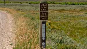
Waypoint 2
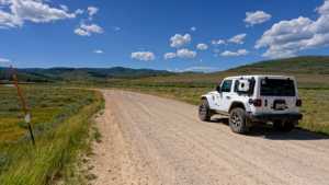
Waypoint 3
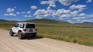
Waypoint 4
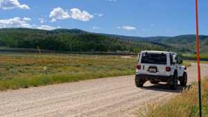
Waypoint 5 (40.227670, -111.198525)
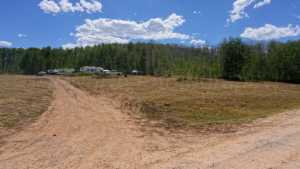
Waypoint 6 (40.227676, -111.198555)
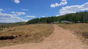
Waypoint 7 (40.227699, -111.198678)
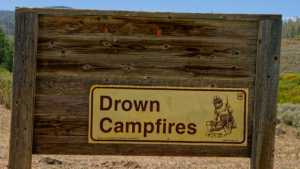
Waypoint 8 (40.222056, -111.241988)
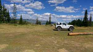
Waypoint 9 (40.222036, -111.241945)
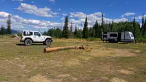
Waypoint 10 (40.222011, -111.241930)
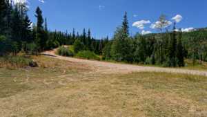
Waypoint 11 (40.218545, -111.257651)
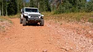
Waypoint 12 (40.219667, -111.271975)
Waypoint 13 (40.219667, -111.271975)