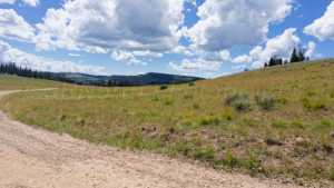
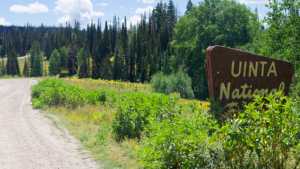
Heber Mountain Road climbs out of the Bench Creek drainage north of Woodland and works its way up through pine and aspen timber into the Uinta National Forest. The lower stretch is a rutted, rocky grind that will get your attention, but it eases into a mellower two-track once you're above the first mile. From there the road strings together a series of camping pockets, open meadows, and valley overlooks before eventually connecting into a second trail segment that continues east toward more open country.
Trail Summary
- Location: Uinta National Forest, near Woodland, Utah
- Distance: 8.0 miles
- Difficulty: Level 3 - Best suited for a high clearance 4x4
- Minimum Elevation: 8,960 feet
- Maximum Elevation: 9,780 feet
- Elevation Gain: 1,120 feet
- Travel Time: 1 hour 30 minutes to 2 hours
Difficulty
Best suited for a high clearance 4x4
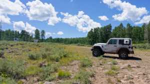
Stock vehicles with high ground clearance, 4WD capability, and off-road tires are the right tool for this one. Expect a rock or undulated road surface with challenges under 12 inches, including ledges, dips, and short climbs where careful tire placement pays off. The trail runs uneven and rutted with loose rock, sandy stretches, and the potential for mud holes, and it's typically one vehicle wide with occasional spots to pass oncoming traffic.
Elevation
The route starts around 8,960 feet at the Bench Creek trailhead and climbs to a high point near 9,780 feet before leveling off. Total climbing comes in around 1,120 feet, with about 430 feet of descent worked in along the way, for a net gain of roughly 710 feet from start to finish. Most of the elevation gain happens in the first two miles, where the road works hardest to get up out of the drainage.
Terrain
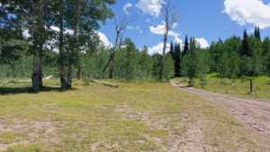
This is mountain shelf road and rocky two-track. The surface alternates between graded dirt, embedded rock, and stretches of deeper ruts, particularly in that first climbing section. Above the initial grind, the road settles into a narrow shelf that threads through aspen groves and open meadows, with the trees closing in and opening back up repeatedly as you work east.
4WD Experience
The toughest section sits early, roughly a half mile to a mile in, where deeper ruts and loose rock test tire placement and ground clearance. Stock high-clearance 4x4s handle it fine with some care, but low-clearance rigs will want to sit this one out. Past that stretch the trail relaxes considerably, with long, mellow sections of two-track that most drivers will find manageable in low range without much drama. Blind corners are common through the timber, so keep speeds down and watch for oncoming traffic.
Travel Time
A high-clearance 4WD vehicle should plan on 1 hour 30 minutes to 2 hours to run the full 8 miles, accounting for the technical section near the start and a handful of stops for photos or scouting camp spots. Drivers who keep moving without much stopping can expect closer to an hour and 15 minutes.
Highlights
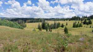
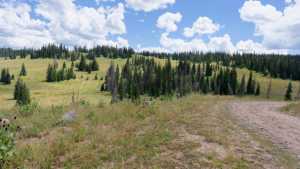
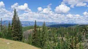
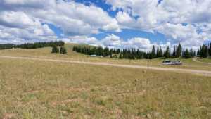
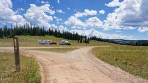
Camping opportunities show up all along this road. Early on there are a few open pockets with partial morning shade, followed by a nicer site tucked into an aspen grove and another that sits far enough off the road to be shaded and private. A wide-open meadow follows, offering plenty of space but no privacy or shade depending on how close you park to the tree line. Camp Smyrna, further along, is a smaller, more sheltered site among the trees. Past that, the road opens to a solid view over the surrounding valleys and mountaintops before continuing on. A spur near the halfway point gives access to the Camp Hollow Trail for those who want to get out and hike. The route is recorded as two connected sections, with the second beginning near the halfway point and continuing into another stretch of open, unshaded camping.
Map
Interesting Waypoints
Waypoint 1 (40.446161, -111.206656)
Waypoint 2 (40.446161, -111.206659)

Waypoint 3 (40.446162, -111.206653)

Waypoint 4 (40.446162, -111.206650)

Waypoint 5 (40.452556, -111.205280)

Waypoint 6 (40.471203, -111.205790)

Waypoint 7 (40.471183, -111.205720)
Waypoint 8 (40.471167, -111.205665)

Waypoint 9 (40.471166, -111.205660)

Waypoint 10 (40.471165, -111.205658)

Waypoint 11 (40.471165, -111.205657)
Waypoint 12 (40.471165, -111.205655)
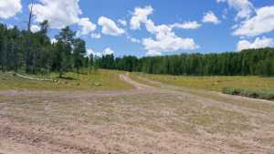
Waypoint 13 (40.471164, -111.205652)
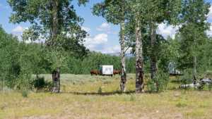
Waypoint 14 (40.469828, -111.203823)
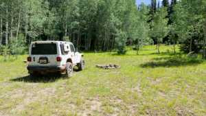
Waypoint 15 (40.469652, -111.203696)

Waypoint 16 (40.469645, -111.203692)
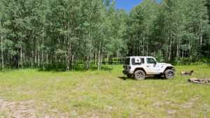
Waypoint 17 (40.469642, -111.203690)
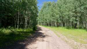
Waypoint 18 (40.469631, -111.203684)

Waypoint 19 (40.461542, -111.199489)

Waypoint 20 (40.461530, -111.199484)

Waypoint 21 (40.461529, -111.199484)
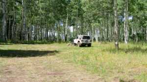
Waypoint 22 (40.461517, -111.199478)

Waypoint 23 (40.461629, -111.198547)

Waypoint 24 (40.461633, -111.198516)
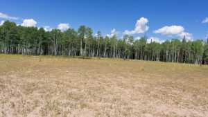
Waypoint 25 (40.458009, -111.187002)

Waypoint 26 (40.458010, -111.186999)

Waypoint 27 (40.458011, -111.186997)
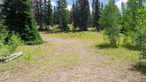
Waypoint 28 (40.457964, -111.181135)

Waypoint 29 (40.457959, -111.180978)
Waypoint 30 (40.457954, -111.180880)
Waypoint 31 (40.457939, -111.180687)

Waypoint 32 (40.457910, -111.180624)

Waypoint 33 (40.453673, -111.163796)
Waypoint 34 (40.453650, -111.163779)

Waypoint 35 (40.460391, -111.143680)

Waypoint 36 (40.460384, -111.143679)

Waypoint 37 (40.460367, -111.143678)
Waypoint 38 (40.460362, -111.143678)

Waypoint 39 (40.460356, -111.143677)
Waypoint 40 (40.460351, -111.143677)