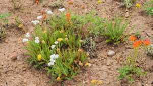
Lambert Hollow climbs out of Diamond Fork Canyon in the Uinta National Forest, gaining nearly 1,900 feet over nine and a half miles round trip on a rocky, one-lane forest road. The route winds through thick stands of maple and aspen before breaking into open meadows near the top, where the surrounding peaks come into full view. It is a steady, technical climb rather than a fast cruise, with rutted sections and loose rock keeping speeds low most of the way.
Trail Summary
- Location: Diamond Fork Canyon, Uinta National Forest, near Springville, Utah
- Distance: 4.7 miles one way
- Difficulty: Level 3 - Best suited for a high clearance 4x4
- Minimum Elevation: 8,539 ft
- Maximum Elevation: 10,394 ft
- Elevation Gain: 1,868 ft
- Travel Time: Approximately 50 minutes to 1 hour
Difficulty
Best suited for a high clearance 4x4
Stock vehicles with high ground clearance, 4WD capability, and off-road tires are recommended. Expect a more rock or undulated road surface with potential challenges under 12 inches, such as ledges, drops, and short climbs, where careful tire placement helps. The road is uneven and rutted in places, with loose rock and sandy stretches. It runs one vehicle wide for most of its length, with occasional wide spots to pass.
Elevation
The road starts near 8,539 feet at the bottom of the canyon and climbs steadily to a high point of 10,394 feet. Most of the elevation gain comes in a sustained push over the first several miles, with the grade easing somewhat as the trail nears its upper meadows.
Terrain
Expect mountain shelf road and rocky two-track for most of the drive. The lower section runs through dense maple and aspen forest with a narrow, rutted surface. Higher up, the trail opens into grassy meadows and thinner stands of timber, with looser soil and exposed rock underfoot.
4WD Experience
Low range comes in handy on the steeper pitches, and the rocky, rutted surface calls for deliberate line choices rather than speed. There are no major water crossings or deep mud on this route, but the constant unevenness and occasional loose rock make it a workout for suspension and tires alike. High clearance keeps the underside protected through the rockier stretches.
Travel Time
Moving time on the climb runs about 42 minutes, with total time on trail closer to 53 minutes when accounting for stops. Plan on roughly an hour each way for a relaxed pace with photo stops, or closer to 45 minutes if driving straight through.
Highlights
The upper meadows offer wide views back down into Diamond Fork Canyon and across the surrounding ridgelines. Fall color in the maple and aspen stands is a strong draw for this route, and the forest canopy provides welcome shade through the lower and middle sections on warm days.
Trail GPS File
Map
GAIA GPS Track
Photos
Photo 1 (GPS Location estimated from timestamp)
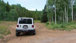
Photo 2 (GPS Location estimated from timestamp)
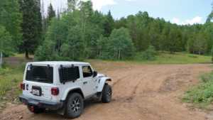
Photo 3 (GPS Location estimated from timestamp)

Photo 4 (GPS Location estimated from timestamp)

Photo 5 (GPS Location estimated from timestamp)

Photo 6 (GPS Location estimated from timestamp)

Photo 7 (GPS Location estimated from timestamp)
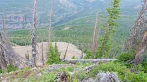
Photo 8 (GPS Location estimated from timestamp)
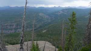
Photo 9 (GPS Location estimated from timestamp)
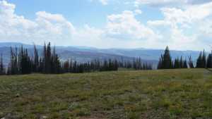
Photo 10 (GPS Location estimated from timestamp)