Long Hollow is a scenic mountain road that climbs through the high forest northeast of Kamas, Utah. The trail starts from Soapstone Creek Road and passes through dense aspen and evergreen forest with wildflowers during summer. A small pond near the midpoint offers a peaceful break. The road features consistent moderate grades and well-maintained rocky surface with minimal obstacles, making it accessible to high-clearance vehicles. Total elevation gain is modest at 374 feet across 3.13 miles.
Trail Summary
- Location: Uinta-Wasatch-Cache National Forest, northeast of Kamas, Utah. Accessed from Soapstone Creek Road.
- Distance: 3.13 miles
- Difficulty: Level 2 - Typically suitable for high clearance 2WD
- Minimum Elevation: 8,717 feet
- Maximum Elevation: 9,125 feet
- Elevation Gain: 374 feet
- Travel Time: 25-30 minutes (recorded moving time approximately 26 minutes)
Difficulty
Suitable for high clearance 2WD
Stock equipment is sufficient but terrain will test tire traction and ground clearance. The trail features dirt and rocky road with moderate elevation changes. Potential obstacles include rocks and ruts less than 9 inches. While some sections may be steep, traction is generally good. The road is typically one to two vehicles wide and navigable after rain or snow with careful driving.
Elevation
The trail climbs steadily from 8,717 feet to 9,125 feet, gaining 374 feet of elevation over the 3.13-mile route. Descent is 211 feet, resulting in a net elevation gain of 111 feet. The climb is distributed evenly throughout the route with no extreme pitches, making it manageable for standard high-clearance vehicles.
Terrain
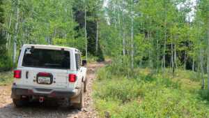
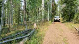
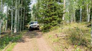
Mountain forest road with mixed aspen and evergreen forest. Rocky and dirt surface typical of high-elevation forest service roads. The trail follows natural drainage patterns with occasional rocky sections but minimal ledges or erosion. Vegetation is dense on both sides, creating scenic corridor effect. The road surface is well-defined and established, though loose rocks are present in places.
4WD Experience
This is an introductory trail suitable for drivers new to off-road travel in high-elevation terrain. The consistent grades and lack of extreme obstacles make it ideal for practicing basic high-clearance driving techniques. Ground clearance is more critical than four-wheel drive capability. Stock tires with adequate tread perform well. The trail offers excellent opportunity to observe high forest ecology and seasonal wildflower displays without technical challenge.
Travel Time
Approximately 25-30 minutes of actual driving time at moderate speed. Most drivers will complete the route in about 30-35 minutes including brief stops for photos or rest. The recorded moving time was 26 minutes. Speed is limited more by road surface and enjoyment of scenery than by difficulty.
Highlights
The dense aspen and conifer forest creates excellent scenic views, especially during fall color or peak wildflower season. A small pond located partway along the route offers a scenic break point. The trail provides access to high-elevation forest habitat with opportunities to observe wildlife and seasonal changes. The climb offers expanding views of the surrounding Uinta Mountains as elevation increases. The entire route is accessible during the dry season and early fall months.
Map
Interesting Waypoints
Waypoint 1
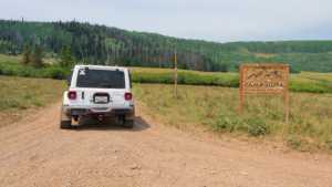
Waypoint 2
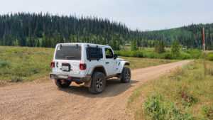
Waypoint 3

Waypoint 4 (GPS Location: 40.5557, -111.0492)

Waypoint 5 (GPS Location: 40.5557, -111.0492)

Waypoint 6 (GPS Location: 40.5655, -111.0760) - Camp Paiuta pond area
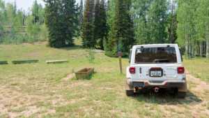
Waypoint 7 (GPS Location: 40.5655, -111.0760)
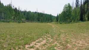
Waypoint 8 (GPS Location: 40.5655, -111.0760)

Waypoint 9
Waypoint 10

Waypoint 11
Waypoint 12
Waypoint 13
