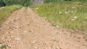
Lower Dry Hollow is a short connector trail in the Soapstone Basin area of the Uinta-Wasatch-Cache National Forest. It links the main basin roads to a quiet camping spot tucked above the drainage, with a rock slide sitting right next to the site. It is a quick run, better suited as an add-on to a day in Soapstone Basin than a standalone destination.
Trail Summary
- Location: Soapstone Basin, Uinta-Wasatch-Cache National Forest, Wasatch County, Utah. Closest city: Woodland, UT. Closest major road intersection: UT-35 and Soapstone Basin Road.
- Distance: 0.2 miles
- Difficulty: Level 2 - Typically suitable for high clearance 2WD
- Minimum Elevation: 8,705 ft
- Maximum Elevation: 8,741 ft
- Elevation Gain: 58 ft
- Travel Time: About 5 minutes
Difficulty
Typically suitable for high clearance 2WD
Stock equipment is sufficient, but the terrain will test tire traction and ground clearance in a few spots. Expect dirt and rocky road surface with obstacles under 9 inches, such as rocks, dips, and ruts. Grades are short and can be steep but generally hold good traction. The road is typically unmaintained after rain or snow, so shallow water or mud is possible depending on conditions. Width runs one to two vehicles wide.
Elevation
The trail sits between 8,705 and 8,741 feet, gaining about 58 feet and losing about 38 feet over its short run. There is no sustained climb here, just a gentle roll as the road works its way down toward the camping area at the end.
Terrain
This is foothill terrain below treeline, with a rocky dirt surface running through open pine and aspen cover typical of the Soapstone Basin drainages. Elevation change is minimal for the entire length, and the road stays a consistent one to two vehicles wide throughout.
4WD Experience
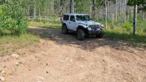
High clearance is helpful but four wheel drive is optional for most stock vehicles in dry conditions. The road surface is loose rock and dirt with a few small ruts to pick through, nothing that requires low range. Tire placement matters more than power here, particularly near the end where the trail narrows before opening into the camping spot.
Travel Time
Recorded travel time on this run was about 5 minutes, most of it spent stopped rather than moving. For a high clearance 4WD vehicle covering the route without extended stops, figure on 5 to 10 minutes end to end. Add extra time if you plan to explore the camping area or the rock slide next to it.
Highlights
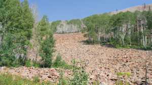
The main draw is the camping spot at the end of the trail. It sits up away from the road, which gives it some privacy, though it is open rather than shaded. A rock slide sits right next to the site, worth a look on foot. Otherwise this is a short, functional connector rather than a scenic destination in its own right.
Map
Interesting Waypoints
Waypoint 1
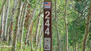
Waypoint 2
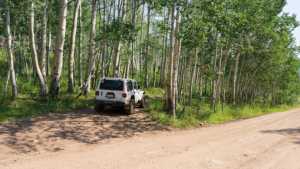
Waypoint 3
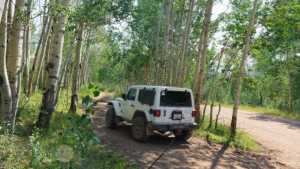
Waypoint 4 (40.520318, -111.033473)
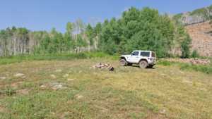
Waypoint 5 (40.520318, -111.033473)
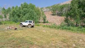
Waypoint 6 (40.520318, -111.033474)
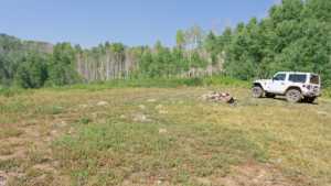
Waypoint 7 (40.520319, -111.033474)
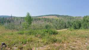
Waypoint 8 (40.520319, -111.033475)
Waypoint 9
Waypoint 10