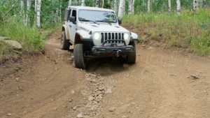
Major Evans Road climbs out of the valley floor southwest of Midway and works its way up a series of tight switchbacks before settling onto a narrow shelf road along the mountainside. The lower half is the technical part of the drive, with careful tire placement needed through a handful of pinch points and one off-camber shelf section. Above the switchbacks the road eases up and rolls through timber past several camping spurs before ending at a locked gate near the top of the ridge.
Trail Summary
- Location: Uinta-Wasatch-Cache National Forest, near Midway, Utah
- Distance: 3.8 miles (one way)
- Difficulty: Level 3
- Minimum Elevation: 7,794 ft
- Maximum Elevation: 9,354 ft
- Elevation Gain: 2,081 ft
- Travel Time: About 1.5 hours one way
Difficulty
Best suited for a high clearance 4x4
Stock vehicles with high ground clearance, 4WD capability, and off-road tires are the baseline for this road. The lower switchbacks bring more rock and undulation to the surface, with obstacles and tight turns that call for careful tire placement and occasionally backing up to get a four-door rig around the corner. The road is one vehicle wide for most of its length, with a few pull-outs to allow passing.
Elevation
The road starts at about 7,794 feet at the bottom of the switchbacks and climbs steadily to roughly 9,354 feet near the locked gate at the end of the trail, a net gain of about 2,081 feet over 3.8 miles. Most of the climbing happens in the first mile and a half, where the road works its way up the mountainside through a dozen or so switchbacks. Once above the switchbacks, the grade mellows out considerably as the road follows the ridge toward the top.
Terrain
Expect mountain shelf roads and rocky two-track for most of the drive. The lower section is a true shelf road, cut into the hillside with a string of roughly a dozen switchbacks stacked close together. One stretch is off-camber, tilting about 12 to 15 degrees at its steepest. Above the switchbacks the road widens slightly and runs through open timber and meadow before reaching the gate at the top.
4WD Experience
The switchbacks near the bottom are the main event. Several of the turns are tight enough that a two-door rig can usually work through with careful navigation, while a four-door will likely need to back up and re-angle to make it around. Tire placement matters in a couple of narrow spots where the road pinches down, and the off-camber shelf section partway up adds a bit of pucker factor without being technically difficult. One stretch near the top, close to where Milk Maid Trail comes into view off to the side, is about as hard as the trail gets, still within Level 3 but enough to pay attention to. Beyond the switchbacks, the drive settles into a relaxed, scenic cruise.
Travel Time
Plan on roughly an hour and a half to work up the 3.8 miles to the gate in a high-clearance 4WD, with the switchbacks accounting for most of that time. The return trip down is usually a bit quicker. With stops at the camping spurs and viewpoints, figure on two to three hours round trip.
Highlights
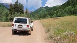
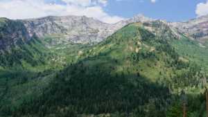
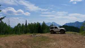
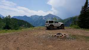
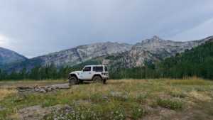
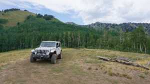
There are three separate camping spurs along the road, ranging from a shaded, private spot tucked just off the main line to a larger ridge-top clearing with open mountain views and room for several rigs. Near the top, a short spur camp looks out over Aspen Grove and the surrounding peaks. From the section near the trail's harder switchback, Milk Maid Trail is visible across the drainage. The trail ends at a locked gate posted by Utah County, with a turnaround area for two or three vehicles and a good view back down the canyon.
Map
Interesting Waypoints
Waypoint 1 (40.514377, -111.655028)
Waypoint 2 (40.514383, -111.655028)

Waypoint 3 (40.514420, -111.655026)
Waypoint 4 (40.514251, -111.652100)
Waypoint 5 (40.514251, -111.652099)
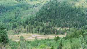
Waypoint 6 (40.514253, -111.652096)
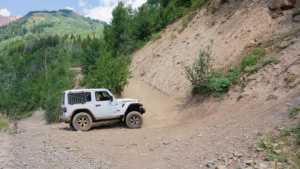
Waypoint 7 (40.516195, -111.649327)

Waypoint 8 (40.519745, -111.649462)
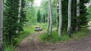
Waypoint 9 (40.519747, -111.649460)
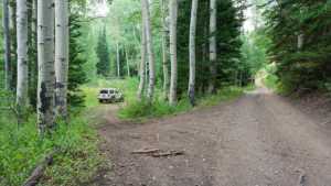
Waypoint 10 (40.519751, -111.649454)

Waypoint 11 (40.519754, -111.649450)

Waypoint 12 (40.518774, -111.646338)

Waypoint 13 (40.518775, -111.646343)
Waypoint 14 (40.518777, -111.646348)
Waypoint 15 (40.518778, -111.646353)
Waypoint 16 (40.521455, -111.647760)

Waypoint 17 (40.524488, -111.646544)
Waypoint 18 (40.524484, -111.646542)

Waypoint 19 (40.524474, -111.646539)
Waypoint 20 (40.527837, -111.644773)

Waypoint 21 (40.527838, -111.644773)
Waypoint 22 (40.527842, -111.644772)

Waypoint 23

Waypoint 24

Waypoint 25