Nobletts Ridge follows a stand of aspen and mixed conifer in the Uinta National Forest southeast of Woodland, Utah. The route climbs gradually along a ridge shoulder above Long Hollow, staying mostly in the trees with occasional breaks in the canopy. It is a short run, but the aspen groves along the middle section make it a worthwhile detour off Highway 35.
Trail Summary
- Location: Woodland, Utah, near the Wolf Creek Highway corridor in the Uinta-Wasatch-Cache National Forest
- Distance: 1.9 miles (one way)
- Difficulty: Level 2, typically suitable for high clearance 2WD
- Minimum Elevation: 8,869 feet
- Maximum Elevation: 9,212 feet
- Elevation Gain: 310 feet
- Travel Time: 35 to 45 minutes
Difficulty
Typically suitable for high clearance 4WD
Stock equipment is sufficient, though the terrain will test tire traction and ground clearance in a few spots. Expect dirt and rocky tread with occasional dips and ruts under 9 inches. Grades stay moderate for most of the route, with a couple of steeper pitches where traction holds up well in dry conditions.
Elevation
The road climbs from about 8,869 feet near the start to a high point of 9,212 feet, a gain of 310 feet spread across the full 1.9 miles. The climb is steady rather than abrupt, with the steepest sections found in the middle third as the road works its way up onto the ridge.
Terrain
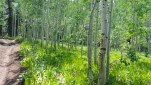
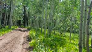
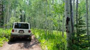
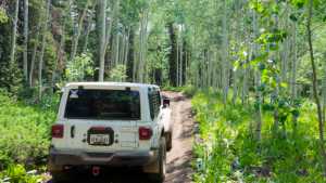
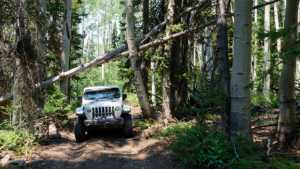
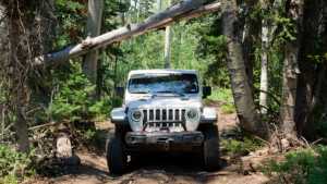
This is narrow road and rocky two-track, narrow enough in places that passing requires a pullout. The surface alternates between packed dirt and embedded rock, with light erosion ruts along the shoulder. Aspen crowd close to the road for much of the middle section, opening into thinner conifer stands near the high point.
4WD Experience
A high clearance 4WD vehicle handles this road without difficulty. The tread is uneven enough that a stock 2WD truck can manage it in dry weather, but the ruts and occasional loose rock make 4WD the more comfortable choice. The road stays one vehicle wide through the aspen groves, so a bit of awareness for oncoming traffic is worth keeping in mind on weekends.
Travel Time
The recorded run took about 35 minutes end to end, including several stops to take photos among the aspens. A high clearance 4WD driving at a normal pace should plan on 35 to 45 minutes one way, with extra time if you stop to enjoy the ridge views or the thick aspen grove partway through.
Highlights
The standout feature is the dense aspen grove roughly a mile in, where the trees close in overhead and the light filters through in a way that is especially good in early fall. The ridge itself offers occasional gaps in the trees with views back toward Long Hollow, and the road's narrow, forested character gives it a more secluded feel than the busier routes closer to Highway 35.
Map
Interesting Waypoints
Waypoint 1 (40.558063, -111.052701)

Waypoint 2 (40.558063, -111.052701)

Waypoint 3 (40.558063, -111.052703)

Waypoint 4 (40.558064, -111.052709)

Waypoint 5 (40.552625, -111.056350)

Waypoint 6 (40.552595, -111.056358)

Waypoint 7 (40.552582, -111.056361)

Waypoint 8 (40.551468, -111.056555)
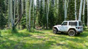
Waypoint 9 (40.551471, -111.056550)

Waypoint 10 (40.551470, -111.056539)

Waypoint 11 (40.551469, -111.056521)
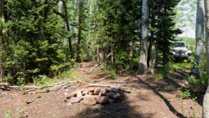
Waypoint 12 (40.549456, -111.054647)
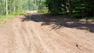
Waypoint 13 (40.549412, -111.054724)
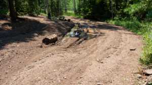
Waypoint 14 (40.549433, -111.054701)

Waypoint 15 (40.548238, -111.055227)
Waypoint 16 (40.548177, -111.055221)
Waypoint 17 (40.547970, -111.055248)

Waypoint 18 (40.547942, -111.055242)

Waypoint 19 (40.547941, -111.055243)
Waypoint 20 (40.547940, -111.055244)
Waypoint 21 (40.546344, -111.054304)
Waypoint 22 (40.546340, -111.054304)
Waypoint 23 (40.535604, -111.052555)
