Soapstone Mountain sits above Soapstone Basin in the Uinta National Forest, reached by a short, steep spur off Piuta Road (FS-70103). The climb is brief but works for it, threading through a stand of lodgepole pine on a narrow, rocky track before opening onto a clearing at the summit with room to camp and views out over the basin.
Trail Summary
- Location: Soapstone Mountain, off Piuta Road (FS-70103), Uinta-Wasatch-Cache National Forest, near Kamas, Utah
- Distance: 0.5 miles
- Difficulty: Level 2.5
- Minimum Elevation: 9,227 ft
- Maximum Elevation: 9,454 ft
- Elevation Gain: 223 ft
- Travel Time: Approximately 10 minutes driving, plus stops
Difficulty
Bridging high clearance 2WD and high clearance 4x4
Stock equipment is generally sufficient, though the grade and loose rock underfoot will test tire traction and ground clearance. Expect a narrow dirt and rocky surface with obstacles under 12 inches, including embedded rock and short rutted stretches. The spur is one vehicle wide for its entire length, so plan for a pullout if you meet oncoming traffic.
Elevation
The spur climbs from about 9,227 feet to 9,454 feet, a gain of 223 feet packed into a half mile. There is almost no descent along the way, so the entire drive is a steady, consistent climb to the summit clearing.
Terrain
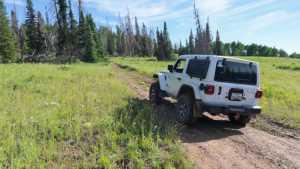
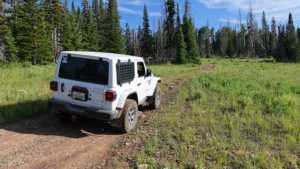
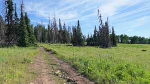
Mountain shelf road and rocky two-track make up the entire route. The surface is loose and embedded rock over hard-packed dirt, narrowing to one vehicle wide as it climbs through dense lodgepole pine. The trees open up near the top, giving way to a rocky clearing at the summit.
4WD Experience
Short and steep sums this one up. The climb keeps a consistent grade the whole way, with enough loose rock to call for careful tire placement, especially near the top where the surface gets rougher. High clearance and 4WD make the drive easy; a 2WD vehicle with good ground clearance can usually manage it in dry conditions but will feel the grade.
Travel Time
The recorded driving time up the spur runs about four to five minutes at a crawl, with the rest of the visit spent parked at the summit clearing. Figure ten minutes round trip if you are just going up to look around, longer if you plan to camp.
Highlights
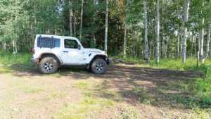
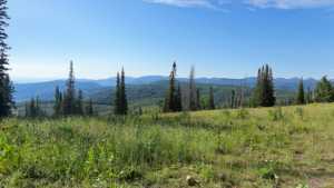
The payoff for the short climb is the clearing at the top of Soapstone Mountain, with room to camp and open views across Soapstone Basin. The lodgepole pine forest along the climb offers shade and a quiet approach before the trees break open at the summit.
Map
Interesting Waypoints
Waypoint 1
Waypoint 2
Waypoint 3
Waypoint 4 (GPS Location estimated from timestamp)
Waypoint 5 (GPS Location estimated from timestamp)
Waypoint 6 (GPS Location estimated from timestamp)
