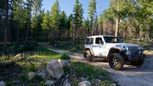
Spring Canyon 1 branches off Spring Canyon Road in the high country above Trial Lake, working its way through dense lodgepole and spruce forest before opening onto a green meadow with a small pond. The route is short but keeps a driver's attention the whole way, with a narrow forest bed, loose rock, and enough twists between the trees that careful line choice matters more than speed.
Trail Summary
- Location: Uinta-Wasatch-Cache National Forest, near Kamas, Utah
- Distance: 1.4 miles (one way)
- Difficulty: Level 3 - Best suited for a high clearance 4x4
- Minimum Elevation: 9,489 feet
- Maximum Elevation: 9,679 feet
- Elevation Gain: 77 feet
- Travel Time: approximately 30 minutes
Difficulty
Best suited for a high clearance 4x4
A stock vehicle with high ground clearance, 4WD capability, and off-road tires handles this trail without issue. The road surface alternates between rutted dirt and exposed rock, with obstacles generally under a foot tall, including small ledges and washed out sections that call for careful tire placement. The trail is narrow, mostly one vehicle wide, with limited spots to pass, and tight turns between trees require some maneuvering in longer wheelbase vehicles.
Elevation
The trail sits consistently above 9,400 feet, starting near 9,650 feet and dropping gradually to a low point of 9,489 feet before climbing back through the meadow area near the pond. Total elevation gain along the recorded route is 77 feet, with 192 feet of loss, for a net drop of about 115 feet from start to finish. There are no long climbs here, just a steady, rolling descent through the forest.
Terrain
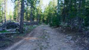
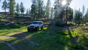
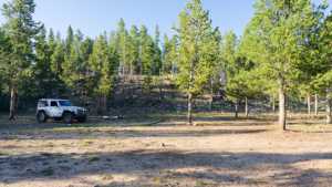
Spring Canyon 1 runs through thick stands of lodgepole pine and spruce typical of the western Uinta Mountains. The road surface is a mix of native dirt, embedded rock, and sections of loose gravel, with some exposed roots and small washouts from spring runoff. The trail narrows as it winds between trees, and the forest canopy keeps much of the route shaded even at midday. Near the end, the trees give way to an open meadow bordered by a small pond.
4WD Experience
This is a slow, deliberate drive rather than a technical one. Tight spacing between trees means mirrors and body panels need attention, and the uneven surface keeps speeds low throughout. High clearance matters more than raw power here, since rocks and ruts sit close enough together that a stock suspension will feel every one of them. Locking the rear differential isn't necessary in dry conditions, but it would help if the trail is wet or rutted deeper than usual.
Travel Time
The recorded track shows a total elapsed time of about 36 minutes covering the 1.4-mile route, with roughly 30 minutes of that as moving time. A high-clearance 4x4 without stops should expect to cover the trail in 25 to 35 minutes, depending on how much time is spent picking lines through the rockier stretches.
Highlights
The meadow and pond at the end of the trail are the main draw, offering a quiet spot to stop and take in the surrounding peaks of the western Uintas. The dense forest along the way provides good shade and a sense of seclusion, and the trail's proximity to Trial Lake makes it easy to combine with other Spring Canyon area routes for a longer day of exploring.
Map
Interesting Waypoints
Waypoint 1
Waypoint 2
Waypoint 3 (40.619955, -110.982688)
Waypoint 4 (40.619978, -110.982678)

Waypoint 5 (40.619992, -110.982633)

Waypoint 6 (40.620088, -110.981974)
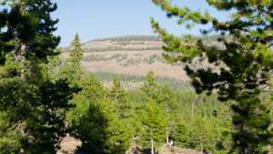
Waypoint 7 (40.620088, -110.981973)

Waypoint 8 (40.620911, -110.979760)
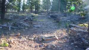
Waypoint 9 (40.621589, -110.978948)

Waypoint 10 (40.621596, -110.978944)
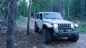
Waypoint 11 (40.621602, -110.978941)
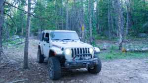
Waypoint 12 (40.621608, -110.978937)
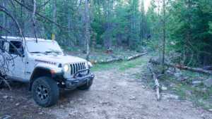
Waypoint 13 (40.621811, -110.982856)

Waypoint 14 (40.621758, -110.982908)

Waypoint 15 (40.620654, -110.984127)
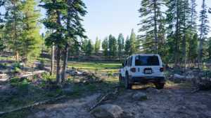
Waypoint 16 (40.620653, -110.984127)
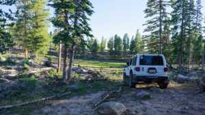
Waypoint 17 (40.620651, -110.984129)

Waypoint 18 (40.620651, -110.984130)

Waypoint 19 (40.620650, -110.984131)
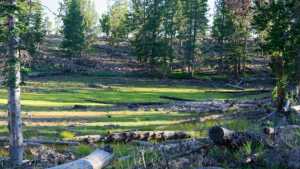
Waypoint 20 (40.620406, -110.977051)

Waypoint 21 (40.620395, -110.977059)
Waypoint 22 (40.618252, -110.976176)

Waypoint 23 (40.618098, -110.976134)

Waypoint 24 (40.618097, -110.976134)