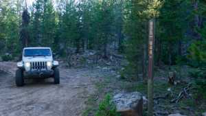
Spring Canyon 2 is a short segment within the larger Spring Canyon network on the south side of the Mirror Lake corridor, in the Uinta-Wasatch-Cache National Forest above Kamas. The route runs through a mix of pine and aspen at roughly 9,300 feet, following a narrow forest two-track that climbs steadily from a staging clearing up toward the higher benches. It covers only about three quarters of a mile, but it packs in the rocky, rutted character that Spring Canyon is known for and works well as a connector into the rest of the drainage.
The Spring Canyon area draws people for its string of backcountry lakes, quiet camping, and cool summer temperatures. This particular stretch stays in the trees the whole way, with grassy edges and scattered rock keeping the pace slow and deliberate.
Trail Summary
- Location: Soapstone Basin area, Uinta-Wasatch-Cache National Forest, near Kamas, Utah
- Distance: 0.76 miles
- Difficulty: Level 2 of 10
- Minimum Elevation: 9,281 feet
- Maximum Elevation: 9,482 feet
- Elevation Gain: 246 feet
- Travel Time: 15 to 20 minutes
Difficulty
Typically suitable for high clearance 2WD
Stock equipment is sufficient here, though the terrain will test tire traction and ground clearance in a few spots. The surface is dirt and rock, typically unmaintained after rain or snow, with obstacles under a foot including small ledges. The track is generally one to two vehicles wide.
Elevation
The segment runs between about 9,281 and 9,482 feet, with a total climb of roughly 246 feet and a little under 65 feet of descent along the way. The trend is a steady uphill grade from the lower staging area to the upper end, with a few rolling dips through the trees rather than any single sustained pull.
Terrain
The trail is mountain shelf road and rocky two-track through forest. The tread alternates between packed dirt, grassy margins, and stretches of embedded cobble and loose rock. A couple of sections firm up into a genuine rock garden where cobble covers the full width of the trail, so keeping speed down and picking a clean line pays off. Tree cover is close on both sides for most of the route.
4WD Experience
Most high-clearance vehicles, 2WD or 4WD, will handle this comfortably at a walking pace. The rocky patches are the main thing to watch, and while they are not large, they can catch an undercarriage if you drop into them carelessly. The narrow, tree-lined corridor leaves little room for full-size rigs, so a mid-size platform is a better fit and helps avoid pinstriping.
Travel Time
Driven straight through, this segment takes only about 15 to 20 minutes at a careful pace. Most people will spend longer, since Spring Canyon is worth slowing down for and there are natural spots to stop, stretch, and take in the forest before continuing deeper into the drainage.
Highlights
The appeal here is the quiet, high-country forest setting and the easy access it provides into the broader Spring Canyon system, which is dotted with small lakes popular for fishing and paddling. The mix of pine and aspen, the cool air, and the rocky two-track make it a pleasant, low-key drive that connects well with longer days spent exploring the Soapstone Basin country.
Map
Interesting Waypoints
Waypoint 1 (40.611864, -110.982012, GPS Location estimated from timestamp)
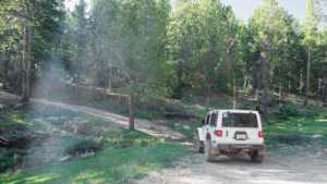
Waypoint 2 (40.611870, -110.982014, GPS Location estimated from timestamp)

Waypoint 3 (40.611877, -110.982021, GPS Location estimated from timestamp)
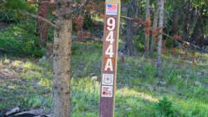
Waypoint 4 (40.611885, -110.982029, GPS Location estimated from timestamp)
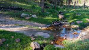
Waypoint 5 (40.611890, -110.982034, GPS Location estimated from timestamp)

Waypoint 6 (40.615296, -110.979797, GPS Location estimated from timestamp)
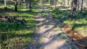
Waypoint 7 (40.615379, -110.979658, GPS Location estimated from timestamp)
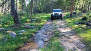
Waypoint 8 (40.615386, -110.979651, GPS Location estimated from timestamp)

Waypoint 9 (40.616897, -110.978132, GPS Location estimated from timestamp)

Waypoint 10 (40.620539, -110.978277, GPS Location estimated from timestamp)

Waypoint 11 (40.620539, -110.978277, GPS Location estimated from timestamp)