Strawberry Ridge climbs out of the Hobble Creek drainage above Springville and works its way up through open range and aspen stands to the ridgeline separating Hobble Creek from Diamond Fork Canyon. The lower miles are wide and easy, but the road narrows and roughens as it gains the ridge, with rocky sections and a few loose, rutted stretches that call for a real 4x4. Once on top, the views open up in both directions, back down toward Springville and out across the timbered ridges toward Strawberry Reservoir.
Trail Summary
- Location: Near Springville, Utah, accessed from Left Fork Hobble Creek Canyon Road
- Distance: 11.2 miles
- Difficulty: Level 3
- Minimum Elevation: 9,067 ft
- Maximum Elevation: 9,589 ft
- Elevation Gain: 1,271 ft
- Travel Time: 1.5 to 2 hours
Difficulty
Best suited for a high clearance 4x4
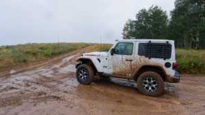
Stock vehicles with high ground clearance, 4WD capability, and off-road tires are enough for this trail. The road surface turns to rock and undulated dirt in places, with challenges and obstacles less than 12 inches, such as ledges, drops, climbs, or water crossings. Careful tire placement may be needed on some sections, and the grade can be steep or loose. The trail is uneven and rutted in spots with loose rocks and sandy washes, potential mud holes after rain, and short steep grades. It runs mostly one vehicle wide with places to pass.
Elevation
The trail starts around 9,100 feet near the bottom of Hobble Creek Canyon and climbs steadily to a high point of 9,589 feet along the ridge. Total climbing for the drive comes to roughly 1,271 feet, with about 974 feet of descent worked in along the way as the road dips through drainages and saddles. The net gain from start to finish is about 365 feet, so the route ends noticeably higher than it began even though there is plenty of up and down in between.
Terrain
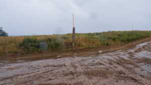
Expect mountain shelf roads and rocky two-track for most of the drive. The lower stretch runs through open meadow and grazing land on a wide dirt road, then narrows as it climbs into aspen and conifer stands. Higher up, the road tracks the ridgeline itself with rockier tread, some erosion, and a few tight, rutted sections. After rain the clay-based dirt turns greasy and can ball up in the tire treads, so traction drops fast in wet weather.
4WD Experience
This is a comfortable outing for a stock high-clearance 4x4 with all-terrain or mud-terrain tires. Low range is not required for most of the drive, though it helps on the steeper, looser pitches near the ridge. Watch tire placement through the rocky sections and any washed-out ruts, and air down if conditions are wet since the road surface loses grip quickly in mud. There is a short optional side spur near the ridge that pushes into tighter, rockier terrain and can bring some body damage if pushed, more in line with a level 6 to 7 challenge. It is a there-and-back detour off the main route, so drivers can skip it entirely and stay on the standard Level 3 line without missing anything the main trail has to offer.
Travel Time
Recorded travel time for the run was about 1 hour and 44 minutes including stops, with roughly 1 hour and 21 minutes of that spent actually moving. For a high-clearance 4WD taking it at a relaxed pace with time for photos and the occasional obstacle, plan on 1.5 to 2 hours for the full out and back. Add extra time if the optional ridge spur is on the agenda.
Highlights
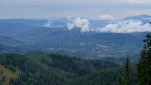
The lower trail opens up with long views back down over Springville and the Utah Valley floor. Aspen groves line several stretches of the middle section, especially as the road works its way toward the ridge, and they would be a strong draw in fall color. Along the ridge, the road breaks out of the trees into open range with sweeping views east toward Diamond Fork Canyon and the timbered country beyond. The optional spur near the ridge adds an extra overlook for those willing to take on rougher terrain, though the main route already delivers the best of the scenery without it.
Map
GAIA GPS Track
Interesting Waypoints
Waypoint 1
Waypoint 2
Waypoint 3

Waypoint 4 (40.219779, -111.272236)
Waypoint 5 (40.229741, -111.272401)

Waypoint 6 (40.229741, -111.272401)

Waypoint 7 (40.252764, -111.275641)
Waypoint 8
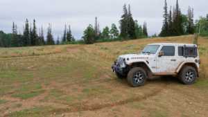
Waypoint 9
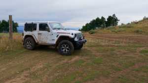
Waypoint 10

Waypoint 11
