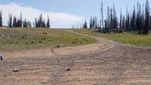
Trail Hollow West, also known locally as Lightning Ridge, is a loop route branching off the top of Rhodes Canyon in the Uinta Mountains west of the Mirror Lake Scenic Byway. The road is unmaintained by the Forest Service and sees light use compared to the paved byway nearby, which keeps the overlooks along the rim feeling quiet even on a busy weekend. The loop can be run in either direction, and most drivers choose to run it clockwise so the technical obstacles come before the overlooks rather than after.
Trail Summary
- Location: Near Kamas, Utah, off Soapstone Basin Road from Utah State Route 150 (Mirror Lake Scenic Byway)
- Distance: 4.1 miles
- Difficulty: Level 3
- Minimum Elevation: 9,516 feet
- Maximum Elevation: 10,057 feet
- Elevation Gain: 514 feet
- Travel Time: 45 to 60 minutes
Difficulty
Best suited for a high clearance 4x4
Stock vehicles with high ground clearance, 4WD capability, and off-road tires are appropriate here. The road surface is mostly rock and undulated dirt, with potential challenges under 12 inches such as ledges, drops, climbs, or water crossings. Careful tire placement is needed in a few spots, and the road can run steep or loose. Expect an uneven, rutted trail with loose rocks and sandy stretches, plus a short, steep section or two. The road is typically one vehicle wide with occasional places to pass.
Elevation
The route climbs from a low point of 9,516 feet to a high point of 10,057 feet, a difference of about 541 feet across the loop. Total elevation gain over the course of the drive comes to roughly 514 feet, with about 529 feet of descent, for a net change of about negative 15 feet from start to finish. The elevation swings happen gradually along the shelf sections rather than in one sustained climb.
Terrain
Trail Hollow West runs through mountain shelf roads and rocky two-track typical of the Uinta backcountry. The surface alternates between packed dirt, embedded rock, and loose rock patches no larger than a softball on the clockwise route. Running the loop counter-clockwise adds a one-foot rock shelf and some steeper, looser sections before reaching the overlooks. The road narrows in places to a single lane with pullouts for passing oncoming traffic.
4WD Experience
This is a straightforward drive for a stock high-clearance 4x4 with a little care in tire placement. The rocky patches near the overlooks are the main point of interest, and running the loop clockwise keeps the harder obstacles out of the return trip. Low range is not strictly required for most of the loop but can help on the steeper pitches. There is little exposure or off-camber driving compared to more technical Uinta routes, which makes this a good option for building confidence before moving up in difficulty.
Travel Time
Recorded travel time on the loop was about 43 minutes total, with roughly 36 minutes of that spent moving and the rest at stops for photos and route finding. A high-clearance 4WD vehicle driving at a relaxed pace with a few stops at the overlooks should plan for 45 to 60 minutes to complete the loop.
Highlights
The overlooks along the rim above Rhodes Canyon are the main draw, offering some of the better views of the Uinta high country available from a vehicle. Bald Mountain and the surrounding peaks are visible from several points along the route, with a wide valley spread out below. One spot near the northern end of the loop lets you drive right up to the cliff edge, with room to park and take in the view, one of the better photo stops on the trail. The drive passes through quiet stands of forest before opening onto the exposed rock at the rim, and wildlife sightings are common given how little traffic the road sees compared to the paved byway.
Trail GPS File
Map
GAIA GPS Track
Interesting Waypoints
Waypoint 1
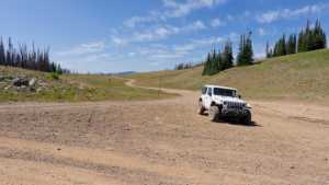
Waypoint 2
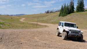
Waypoint 3
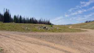
Waypoint 4
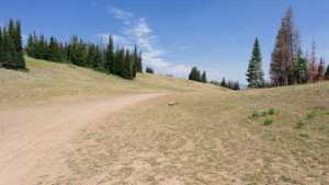
Waypoint 5
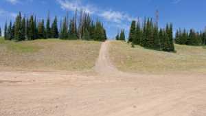
Waypoint 6 (40.5402° N, 110.9122° W)
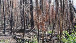
Waypoint 7 (40.5412° N, 110.9102° W). Bald Mountain and the valley below come into view from this spot.
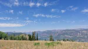
Waypoint 8 (40.5413° N, 110.9102° W)
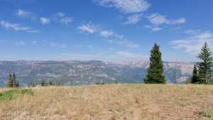
Waypoint 9 (40.5413° N, 110.9102° W)
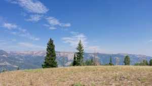
Waypoint 10 (40.5413° N, 110.9102° W)
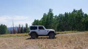
Waypoint 11 (40.5488° N, 110.9183° W). High cliffs here open onto a wide view of Bald Mountain and the surrounding peaks.
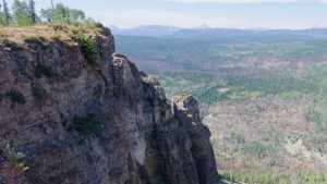
Waypoint 12 (40.5488° N, 110.9183° W)
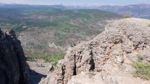
Waypoint 13 (40.5488° N, 110.9183° W)
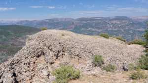
Waypoint 14 (40.5488° N, 110.9183° W)
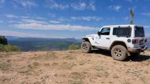
Waypoint 15 (40.5488° N, 110.9184° W)
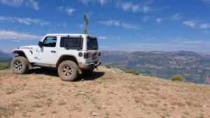
Waypoint 16 (40.5489° N, 110.9184° W)
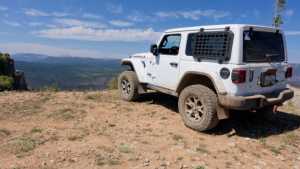
Waypoint 17 (40.5506° N, 110.9200° W). The road runs right up to the cliff edge here, with room to park and take in the view.
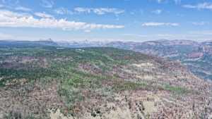
Waypoint 18 (40.5437° N, 110.9353° W)
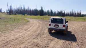
Waypoint 19 (40.5438° N, 110.9355° W)
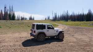
Waypoint 20 (40.5438° N, 110.9355° W)