Upper Mud Creek drops through quiet Wasatch backcountry between Woodland and Center Creek, tracing a forested one lane road that loses nearly 630 feet as it winds northeast. The route stays shaded under pine and aspen for most of its length, with one rocky pinch that keeps drivers paying attention and an open camping flat about halfway through. It is a short, approachable run that still delivers a genuine backcountry feel.
Trail Summary
- Location: Wasatch County, Utah, near Woodland and Heber City
- Distance: 2.4 miles
- Difficulty: Level 2 - Typically suitable for high clearance 2WD
- Minimum Elevation: 8,534 ft
- Maximum Elevation: 9,163 ft
- Elevation Gain: 124 ft
- Travel Time: About 26 minutes recorded on trail
Difficulty
Typically suitable for high clearance 2WD
Stock equipment is sufficient, but the terrain will test tire traction and ground clearance in a few spots. Expect dirt and rocky sections with obstacles under 9 inches, including rocks, dips, and ruts that can turn steep but usually keep decent traction. The road is typically unmaintained after rain or snow, so shallow water crossings and small ledges under 12 inches are possible. Most of the road runs one to two vehicles wide, with occasional pullouts to pass.
Elevation
The trail starts near 9,140 feet and works its way down to about 8,534 feet at the low point, dropping through a series of easy grades rather than one long descent. There is a short climb near the middle of the run where the road tops out at 9,163 feet before it drops again toward the finish. None of the grades are steep enough to demand low range, but the up and down rhythm keeps the drive interesting.
Terrain
Expect mountain shelf roads and rocky two-track for the entire route. The surface alternates between packed dirt, embedded rock, and looser sections that can get slick when wet. The road narrows in the trees and widens again in the open meadow sections, with the trail generally following the contour of the hillside rather than cutting straight up or down.
4WD Experience
A stock high clearance 4WD handles this trail without much drama. The one section worth slowing down for comes early, where a short rocky pinch narrows the road and calls for careful tire placement to avoid the exposed rock on either side. Past that point the trail settles into a mellow forest cruise with the occasional rut or embedded rock to work around. Ground clearance matters more than articulation here.
Travel Time
Figure on 30 to 40 minutes for a high clearance 4WD vehicle taking it easy and stopping for photos along the way. Drivers who keep moving and skip the stops can be through in closer to 20 minutes given the short distance, but the narrow sections and loose rock reward a slower pace.
Highlights
The open camping flat a little past the halfway point is the standout stop, set back in the trees with enough clearing to catch shade at different times of day without feeling boxed in. The final stretch opens into rolling meadow with wider views back across the drainage, a nice contrast to the tighter timbered sections near the start.
Map
Interesting Waypoints
Waypoint 1 (40.20717, -111.26378)

Waypoint 2 (40.20718, -111.26378)

Waypoint 3 (40.20718, -111.26377)

Waypoint 4 (40.20718, -111.26377)

Waypoint 5 (40.20719, -111.26377)

Waypoint 6 (40.20815, -111.26172)

Waypoint 7 (40.20854, -111.25679)

Waypoint 8 (40.20857, -111.25679)

Waypoint 9 (40.20857, -111.25682)
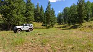
Waypoint 10 (40.21553, -111.24073)

Waypoint 11 (40.21589, -111.24096)

Waypoint 12 (40.22018, -111.24725)
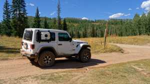
Waypoint 13 (40.22018, -111.24724)
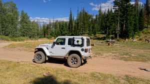
Waypoint 14 (40.22018, -111.24724)
