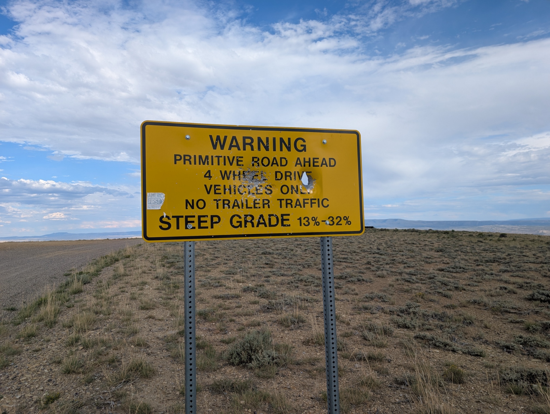
Gookin-White Mountain Road climbs out of the high desert basin near Rock Springs onto the White Mountain plateau, a landmark of colorful sandstone and badlands terrain that separates Rock Springs from Green River. The route is short but steady, gaining elevation the entire way as it works up through sagebrush flats and rocky two-track toward the top of the mesa. It is a solid pick for a quick afternoon run or as a connector into the larger White Mountain trail network.
Trail Summary
- Location: White Mountain, near Rock Springs, Sweetwater County, Wyoming
- Distance: 1.9 miles
- Difficulty: Level 3 - Best suited for a high clearance 4x4
- Minimum Elevation: 6,434 ft
- Maximum Elevation: 7,557 ft
- Elevation Gain: 1,133 ft
- Travel Time: 20 to 30 minutes
Difficulty
Best suited for a high clearance 4x4
Stock vehicles with high ground clearance, 4WD capability, and off-road tires are well suited to this route. The road surface is mostly rock and undulated dirt, with occasional ledges, dips, and ruts under 12 inches that call for careful tire placement in a few spots. Grades are steady rather than extreme, but loose surface material and narrow sections mean the trail is best left to a capable 4x4 rather than a stock 2WD rig.
Elevation
The trail starts at 6,434 ft and tops out at 7,557 ft, a gain of roughly 1,123 net feet over less than two miles. Recorded elevation gain along the track totals about 1,133 ft, with only about 13 ft of loss, meaning this is essentially a one-direction climb from bottom to top with no significant descents along the way. The steepest sections come in the first mile as the road works its way up off the desert floor.
Terrain
Expect desert and foothill terrain for the entire run. The lower stretch crosses open sagebrush flats on a graded dirt surface, transitioning into rockier, rutted two-track as the road climbs the face of White Mountain. Surface material is a mix of hardpack dirt, loose rock, and occasional sandy patches. The road narrows in the upper half, with places to pull aside for oncoming traffic.
4WD Experience
Drivers should keep 4WD engaged for the climb, particularly on the rockier switchback sections partway up. Ground clearance matters more than raw horsepower here, since the obstacles are more about avoiding scrapes on rock ledges and ruts than outright power. Tire placement takes some attention in a few spots, but nothing on this route requires lockers, a winch, or lift kit. A stock high-clearance 4x4 with all-terrain tires will handle it without issue in dry conditions.
Travel Time
For a high-clearance 4WD picking through the rocky sections and taking time to place tires carefully, figure 20 to 30 minutes to cover the 1.9 miles one way, plus extra time for photos at the top.
Highlights
The climb opens up into wide views over the Rock Springs and Green River valley, with the colorful, eroded badlands of White Mountain spread out below. This area is well known for its free-roaming wild horse herds, and it is common to spot small bands grazing along the plateau. The exposed sandstone and banded rock along the upper trail are worth a stop, and the region sits within the same Green River Formation that holds the White Mountain petroglyphs nearby.
Trail GPS File
Map
GAIA GPS Track
Photos
Photo 1 (GPS Location: trailhead, start of track)
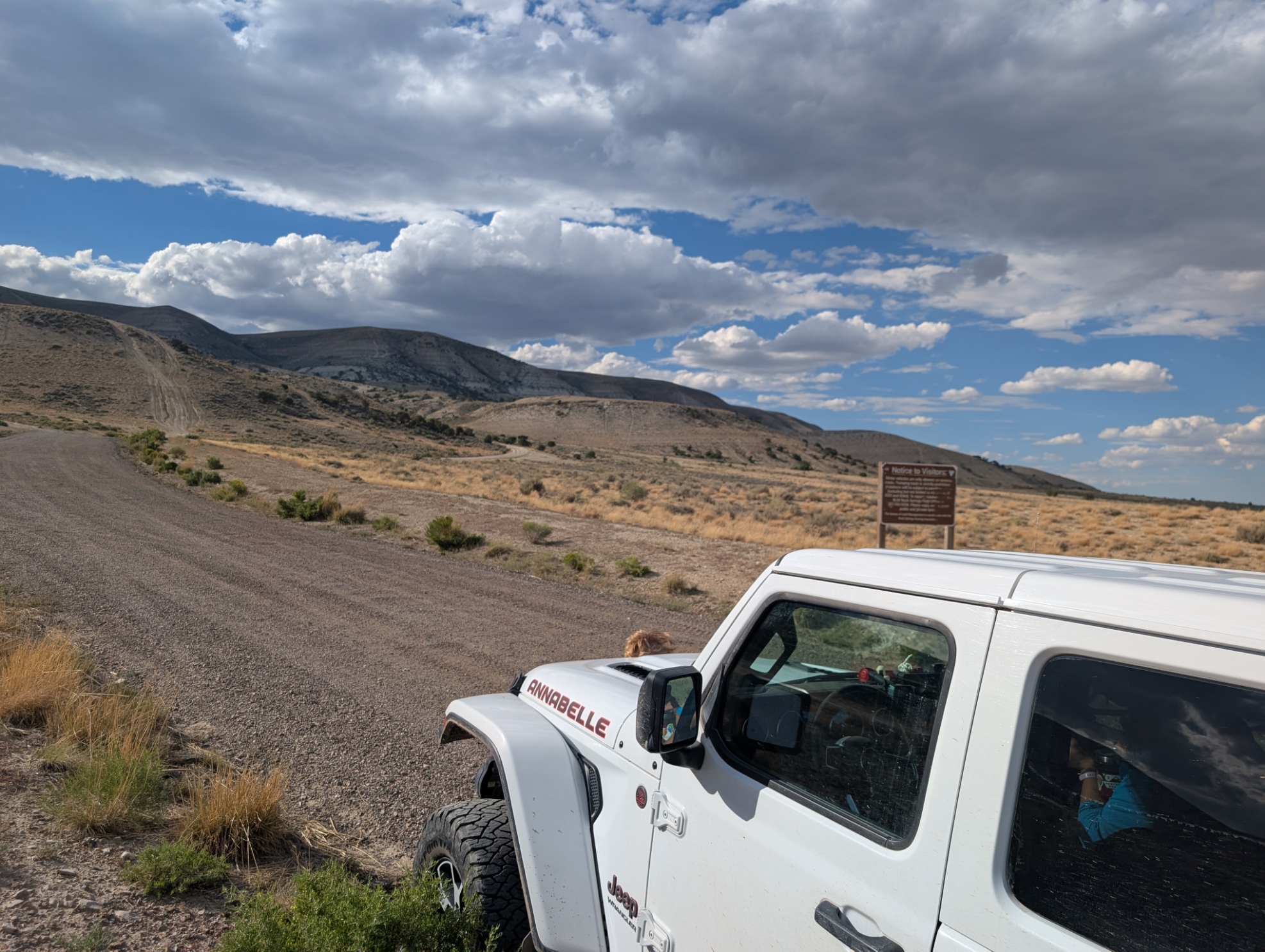
Photo 2 (GPS Location: trailhead, start of track)
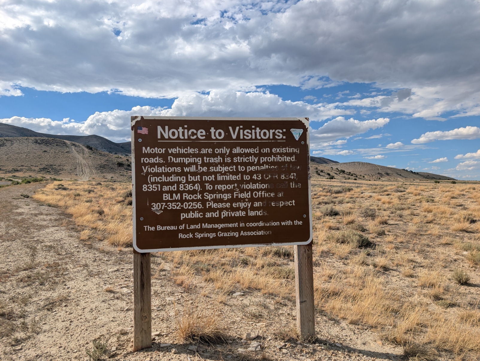
Photo 3 (GPS Location: estimated from timestamp)
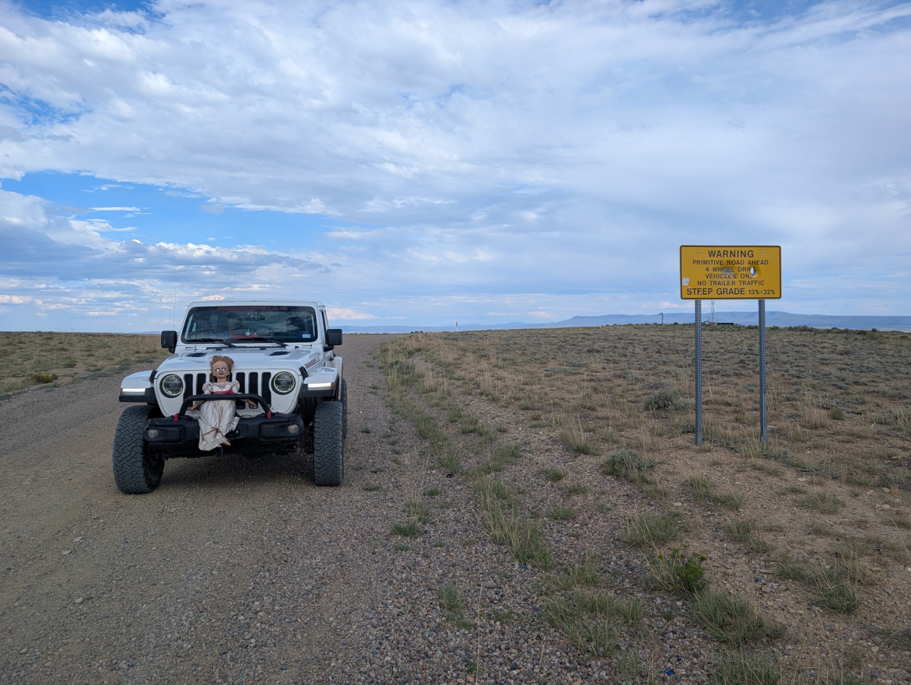
Photo 4 (GPS Location: estimated from timestamp)