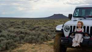
Pilot Butte runs through the high desert north of Rock Springs in the White Mountain area of Sweetwater County. The route follows a rutted two-track across sagebrush flats and low rock benches, climbing gradually before dropping back near the starting point. It's a straightforward loop for a stock high clearance 4x4, with enough loose rock and uneven tread to keep a driver's attention without demanding much in the way of vehicle modifications.
Trail Summary
- Location: White Mountain area, north of Rock Springs, Sweetwater County, Wyoming
- Distance: 8.7 miles
- Difficulty: Level 3 - Best suited for a high clearance 4x4
- Minimum Elevation: 7,118 ft
- Maximum Elevation: 7,620 ft
- Elevation Gain: 537 ft
- Travel Time: Approximately 1 hour recorded, plan for up to 1.5 hours
Difficulty
Best suited for a high clearance 4x4
Stock vehicles with high ground clearance, 4WD capability, and off-road tires are sufficient for this trail. Expect a more rock or undulated road surface with potential obstacles under 12 inches, such as ledges, dips, or small drops. Careful tire placement helps in a few spots, and sections can be steep or loose. The road surface is uneven and rutted dirt with loose rock and occasional sandy stretches. Roads are typically one vehicle wide with places to pass.
Elevation
The trail sits between 7,118 ft and 7,620 ft, a range of about 502 ft. Total climbing over the route comes to roughly 537 ft, with about 563 ft of descent. The route finishes close to where it starts, so the net change over the full loop is small, a difference of roughly 26 ft between the start and end points. Grades are gradual for most of the drive, without any sustained steep climbs.
Terrain
This is desert and foothill terrain typical of the Red Desert country around White Mountain. The two-track crosses open sagebrush flats, low rock outcrops, and benches of exposed sandstone. There are no major elevation swings or switchbacks, just a rolling dirt road that winds around the shoulder of White Mountain. Loose rock and rutted tread show up periodically, along with a few short rocky ledges.
4WD Experience
A stock high clearance 4x4 handles this trail without issue. Four wheel drive helps in the looser sections and on a few of the rockier stretches, but nothing on the route requires low range or specialized equipment. Tire placement matters on the short rocky ledges, and the rutted sections can catch a low hanging skid plate if you're not paying attention. This is a good trail for drivers building confidence in more technical terrain, or as a warm up before something more difficult.
Travel Time
The recorded run covered 8.7 miles in about 59 minutes, with roughly 53 minutes of that spent moving and the rest in short stops. For most high clearance 4WD drivers, plan on 1 to 1.5 hours to complete the loop, allowing extra time for photos, navigation at trail junctions, and any stops to look over the rockier sections before driving them.
Highlights
The trail offers wide open views across the Red Desert basin, with White Mountain rising above the route and the distant ridgelines of the Wind River Range visible to the north on a clear day. Sandstone outcrops and rock benches break up the sagebrush flats along the way.
Trail GPS File
Map
GAIA GPS Track
Photos
Photo 1 (GPS Location estimated from timestamp)
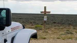
Photo 2 (GPS Location estimated from timestamp)
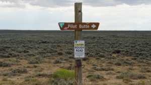
Photo 3 (GPS Location estimated from timestamp)
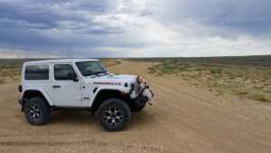
Photo 4 (GPS Location estimated from timestamp)
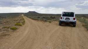
Photo 5 (GPS Location estimated from timestamp)
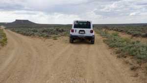
Photo 6 (GPS Location estimated from timestamp)
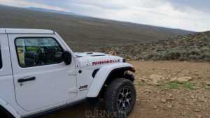
Photo 7 (GPS Location estimated from timestamp)
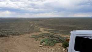
Photo 8 (GPS Location estimated from timestamp)
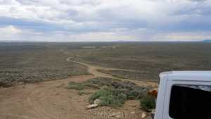
Photo 9 (GPS Location estimated from timestamp)
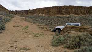
Photo 10 (GPS Location estimated from timestamp)
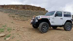
Photo 11 (GPS Location estimated from timestamp)
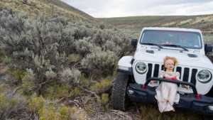
Photo 12 (GPS Location estimated from timestamp)
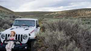
Photo 13 (GPS Location estimated from timestamp)
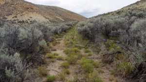
Photo 14 (GPS Location estimated from timestamp)
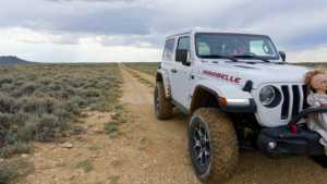
Photo 15 (GPS Location estimated from timestamp)
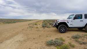
Photo 16 (GPS Location estimated from timestamp)
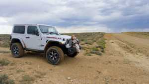
Photo 17 (GPS Location estimated from timestamp)