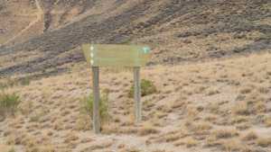
This loop climbs onto the crest of White Mountain between Rock Springs and Green River, Wyoming, through the heart of the White Mountain Herd Management Area. The route follows a well graded county road across open sagebrush country, with long views across the Green River valley and regular chances to spot wild horses along the way.
Trail Summary
- Location: Sweetwater County, Wyoming, between Rock Springs and Green River. Closest city: Green River, WY. Closest major road intersection: I-80 Business Loop / US-30 and WY-530 (Uinta Drive) in Green River.
- Distance: 22.93 miles
- Difficulty: Level 1 - Suitable for high clearance 2WD
- Minimum Elevation: 6,264 ft
- Maximum Elevation: 7,556 ft
- Elevation Gain: 476 ft
- Travel Time: About 1 hour driving, 1.5 to 2 hours with stops
Difficulty
Suitable for high clearance 2WD
Stock equipment is sufficient and no special equipment is needed. The road is dirt and gravel with gentle grades and good traction throughout. Obstacles are limited to minor dips, washboard, and loose rock under 5 inches. The road is typically two vehicles wide, making this an easy route for high-clearance 2WD vehicles as well as any 4WD.
Elevation
The route climbs from about 6,264 feet near the south end close to Green River up to 7,556 feet along the crest of White Mountain, then works its way back down. Total climbing on the loop comes to roughly 476 feet, with more elevation lost overall since the route ends lower than the high point on the ridge. Grades are gradual and spread out over several miles rather than concentrated in any one steep pitch.
Terrain
This is desert and foothill terrain typical of southwest Wyoming's high desert. The road surface is packed dirt and gravel, well maintained in season, running across open sagebrush flats and along the broad shoulder of White Mountain. There are no technical obstacles on the main route, though a number of unmaintained two-tracks branch off if you want to explore further into the herd management area.
4WD Experience
A high-clearance 4WD is not required for the main loop but is a comfortable way to run it, especially if the road is wet or you plan to explore any of the side tracks. The graded surface allows a relaxed pace, and 4WD adds confidence on the looser gravel sections near the top of the mountain. Two-wheel drive vehicles with decent clearance handle the route fine in dry conditions.
Travel Time
The recorded track for this run shows a driving time of about 57 minutes at a steady cruising pace. For a high-clearance 4WD vehicle covering the same 22.93 miles with normal stops for photos and wildlife viewing, plan on 1.5 to 2 hours to comfortably complete the loop.
Highlights
The main draw is the White Mountain wild horse herd, with sightings common along the crest sections of the road. The route also delivers wide views over the Green River valley and the Rock Springs area, along with a good look at the sagebrush steppe that defines this part of the Red Desert region. Watch for pronghorn and other wildlife in addition to the horses.
Trail GPS File
Map
GAIA GPS Track
Photos
Photo 1 (GPS Location (estimated from timestamp): 41.74893, -109.36219)
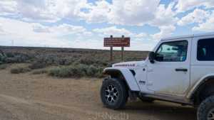
Photo 2 (GPS Location (estimated from timestamp): 41.74889, -109.36219)
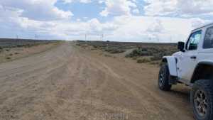
Photo 3 (GPS Location (estimated from timestamp): 41.74853, -109.36225)
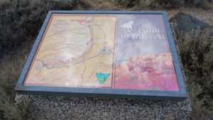
Photo 4 (GPS Location (estimated from timestamp): 41.74824, -109.36237)
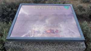
Photo 5 (GPS Location (estimated from timestamp): 41.74817, -109.36246)
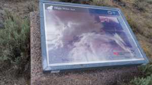
Photo 6 (GPS Location (estimated from timestamp): 41.74816, -109.36246)
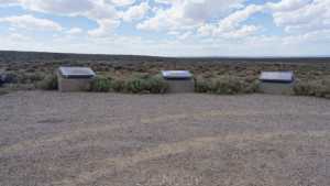
Photo 7 (GPS Location (estimated from timestamp): 41.73357, -109.36209)
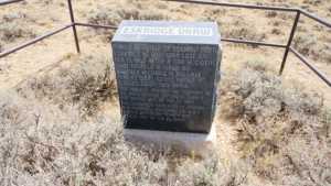
Photo 8 (GPS Location (estimated from timestamp): 41.73351, -109.362)
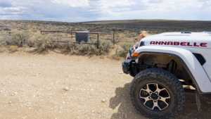
Photo 9 (GPS Location (estimated from timestamp): 41.72062, -109.3189)
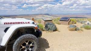
Photo 10 (GPS Location (estimated from timestamp): 41.72071, -109.3182)
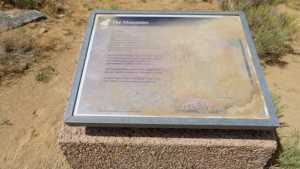
Photo 11 (GPS Location (estimated from timestamp): 41.72071, -109.3182)
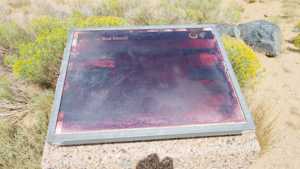
Photo 12 (GPS Location (estimated from timestamp): 41.65448, -109.2952)
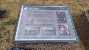
Photo 13 (GPS Location (estimated from timestamp): 41.65447, -109.2952)
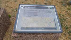
Photo 14 (GPS Location (estimated from timestamp): 41.65447, -109.2952)
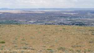
Photo 15 (GPS Location (estimated from timestamp): 41.65446, -109.29521)
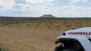
Photo 16 (GPS Location (estimated from timestamp): 41.65446, -109.29522)
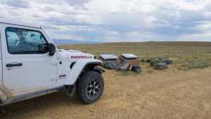
Photo 17 (GPS Location (estimated from timestamp): 41.63224, -109.30804)
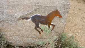
Photo 18 (GPS Location (estimated from timestamp): 41.63222, -109.30803)
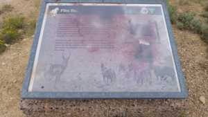
Photo 19 (GPS Location (estimated from timestamp): 41.63221, -109.30803)
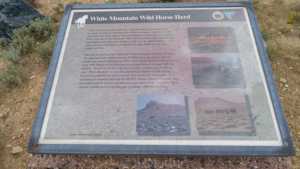
Photo 20 (GPS Location (estimated from timestamp): 41.63221, -109.30803)
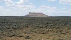
Photo 21 (GPS Location (estimated from timestamp): 41.6322, -109.30802)
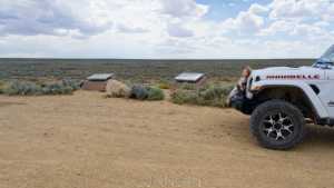
Photo 22 (GPS Location (estimated from timestamp): 41.63219, -109.30802)
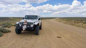
Photo 23 (GPS Location (estimated from timestamp): 41.59292, -109.31503)
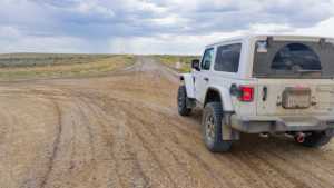
Photo 24 (GPS Location (estimated from timestamp): 41.56791, -109.35736)
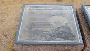
Photo 25 (GPS Location (estimated from timestamp): 41.56791, -109.35737)
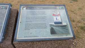
Photo 26 (GPS Location (estimated from timestamp): 41.56791, -109.35738)
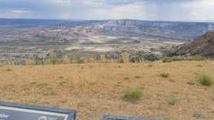
Photo 27 (GPS Location (estimated from timestamp): 41.5679, -109.35741)
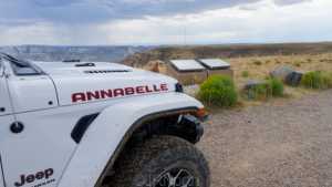
Photo 28 (GPS Location (estimated from timestamp): 41.56024, -109.37317)
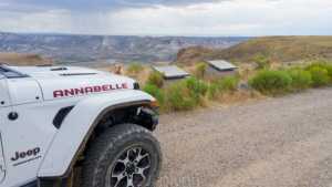
Photo 29 (GPS Location (estimated from timestamp): 41.56023, -109.37303)
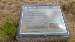
Photo 30 (GPS Location (estimated from timestamp): 41.56023, -109.37304)
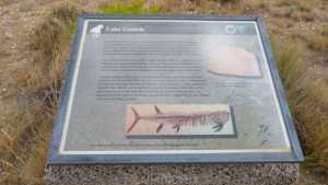
Photo 31 (GPS Location (estimated from timestamp): 41.55331, -109.39643)
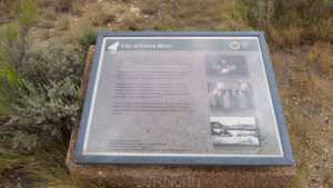
Photo 32 (GPS Location (estimated from timestamp): 41.55332, -109.39646)
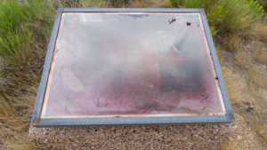
Photo 33 (GPS Location (estimated from timestamp): 41.54013, -109.46775)
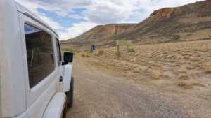
Photo 34 (GPS Location (estimated from timestamp): 41.54015, -109.46754)
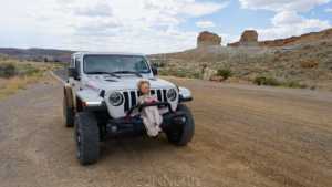
Photo 35 (GPS Location (estimated from timestamp): 41.54015, -109.46754)